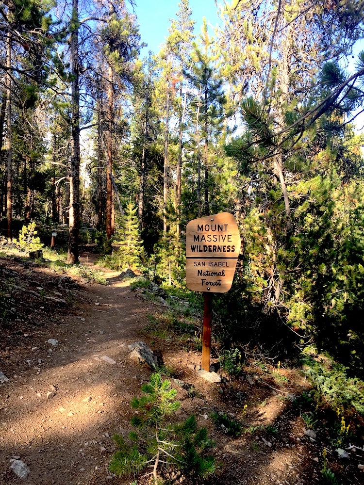
If you are thinking about hiking Mt. Massive, you definitely should do it. It’s a wonderfully scenic hike and worth the effort.
Roughly 15 miles from Victorian era mining town Leadville, CO you will find the trailhead for Mt. Massive. Leadville is a great place to overnight and has some interesting stories to discover. It’s also a good spot to pick up any supplies you may need, or might have forgotten.
Standing 14,421 feet in height, Mt. Massive. is the third tallest peak in the lower 48 states and is the second highest peak in Colorado. Round trip from the trailhead to the peak and back is just shy of 14 miles, with an elevation gain of about 4,500 feet.
Getting Started
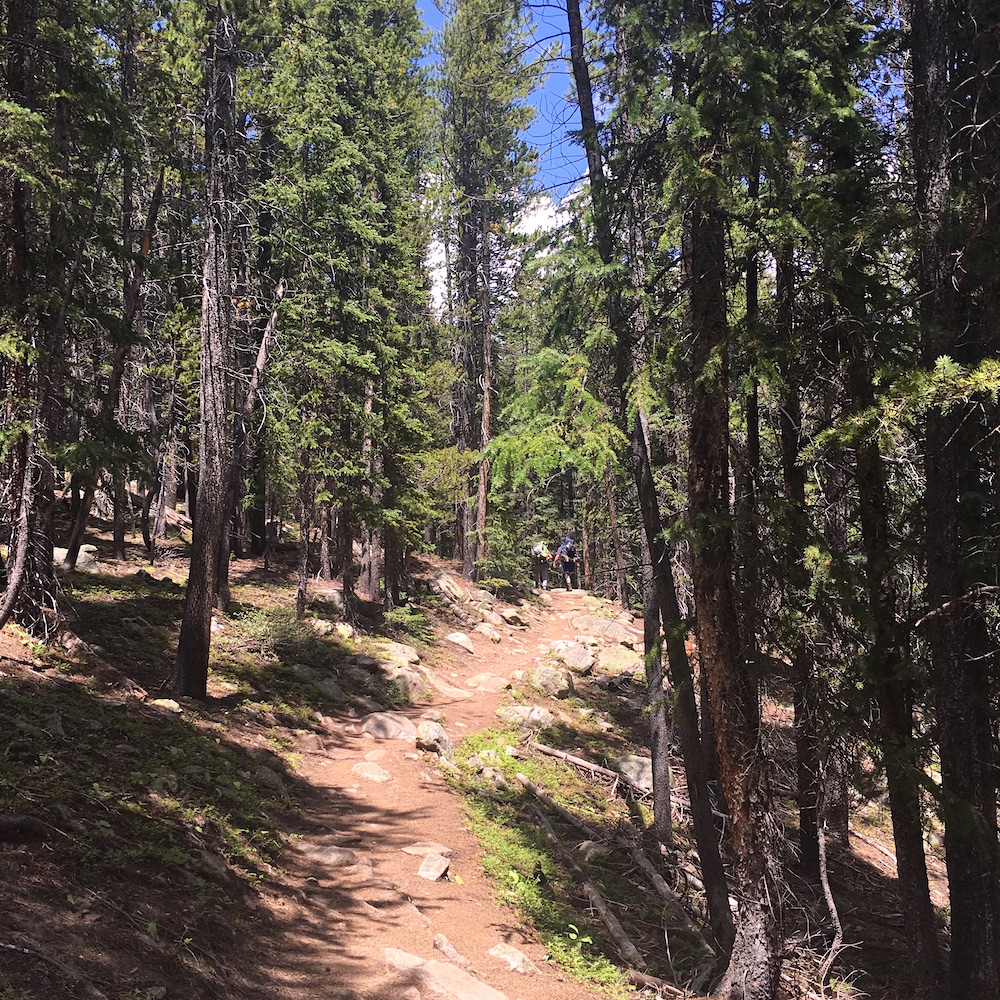
From the parking lot the first 3 miles of the trail are pretty easy and zen-like. A nice wide mostly shaded trail meanders through tall pines. The air smells delightful and the birds are chirping. It’s a small place in forest heaven for me. I am already glad I chose to hike Mt. Massive instead of Mt. Elbert.
There is one small stream crossing that has rocks you can lilypad across. So unless you come in early spring or there has recently been a heavy rain you shouldn’t worry about getting wet.
On the day we climbed this beauty we barely saw any other people on the trail. However, this is a popular hike so come during the week if you can. Most people choose to hike Mt. Elbert which is right next door.
Fresh Mountain Water
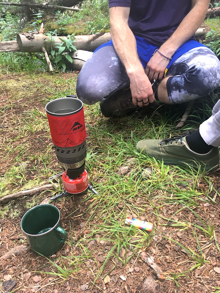
At the first stream crossing we decided to take a break and brew some tea with fresh mountain water. So we fired up our MSR version of a JetBoil and had boiling water in 2 minutes. It was peaceful to sit streamside and listen to the gurgling water. Once refreshed we continued on to the second stream crossing.
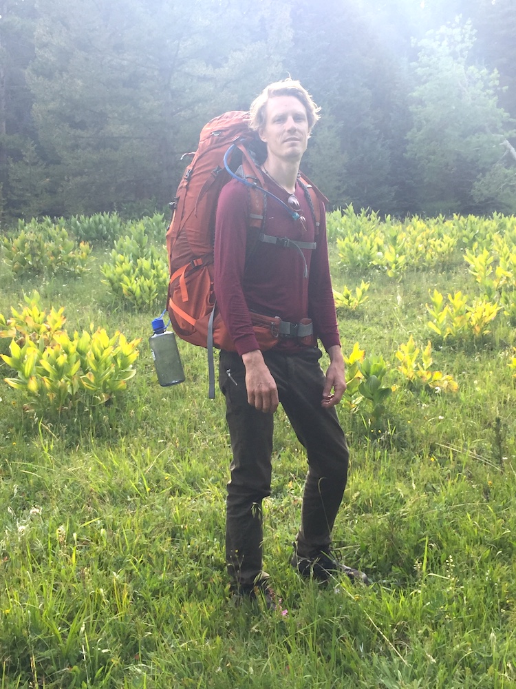
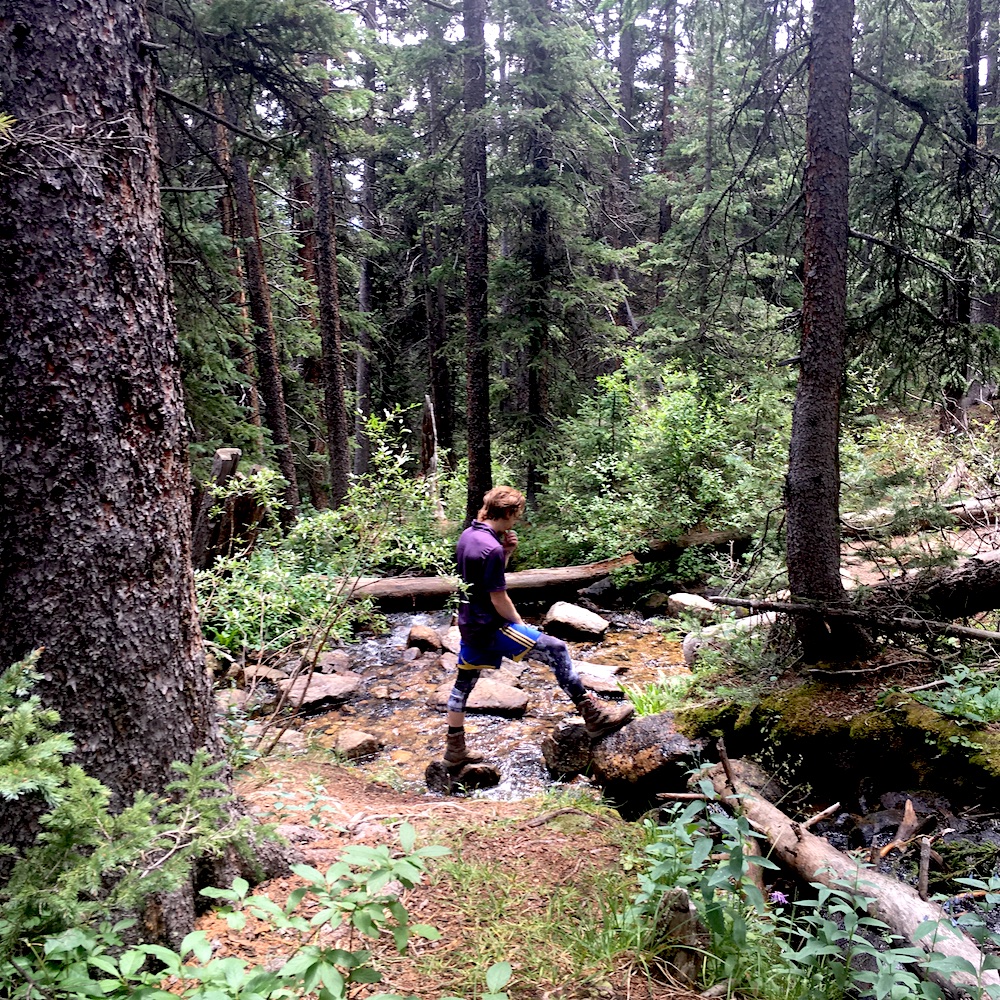
When you get to the second stream crossing there’s a well marked fork in the road. There you hang a left and continue up the mountain. Having left the easy part of the trail behind, you will notice some gain in elevation.
To the left side of the trail is the stream and on the right there are spread out pine trees on a hillside. We deviated from the main trail to follow a less worn trail near the river that had more shade. After a short while this trail opened up into a lush valley dotted with pine trees.
Base Camp
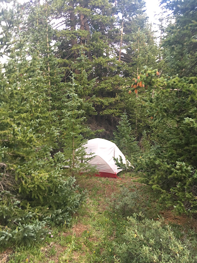
We had allotted two days to do this hike and decided to camp next to the stream in the valley floor. Sheltered by pines we pitched our tents and relaxed the rest of the afternoon. It was hot during the day but the temperature plummeted overnight. I had packed my summer sleeping bag so I froze and didn’t get much sleep. Next time, I will bring a warmer sleeping bag if I plan to overnight above 10,000 feet!
Time To Summit
The following morning we took our time to make breakfast and warm up by the fire. Enjoying the mountain air and quiet. Our party had deviated a bit from the trail. So we ended up wandering our way through the valley and cutting through some forest to get back to the main trail.
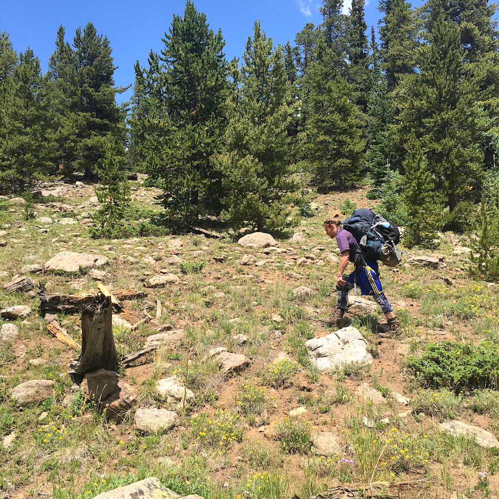
Upon exiting the forest we found ourselves in a huge alpine meadow with views of Mt. Elbert and Leadville. From there we could see the summit and beelined to where we could see the trail in the distance.
At a certain point I started feeling winded. Having hiked many trails in Summit County. I had assumed I would be acclimated to the altitude. However, this was my first 14r and was surprised how thin the air gets once you go over 13,000 feet. I had never struggled in my life on a hike. This was the first time I found myself questioning whether I was going to be able to make the summit.
Keep Going!
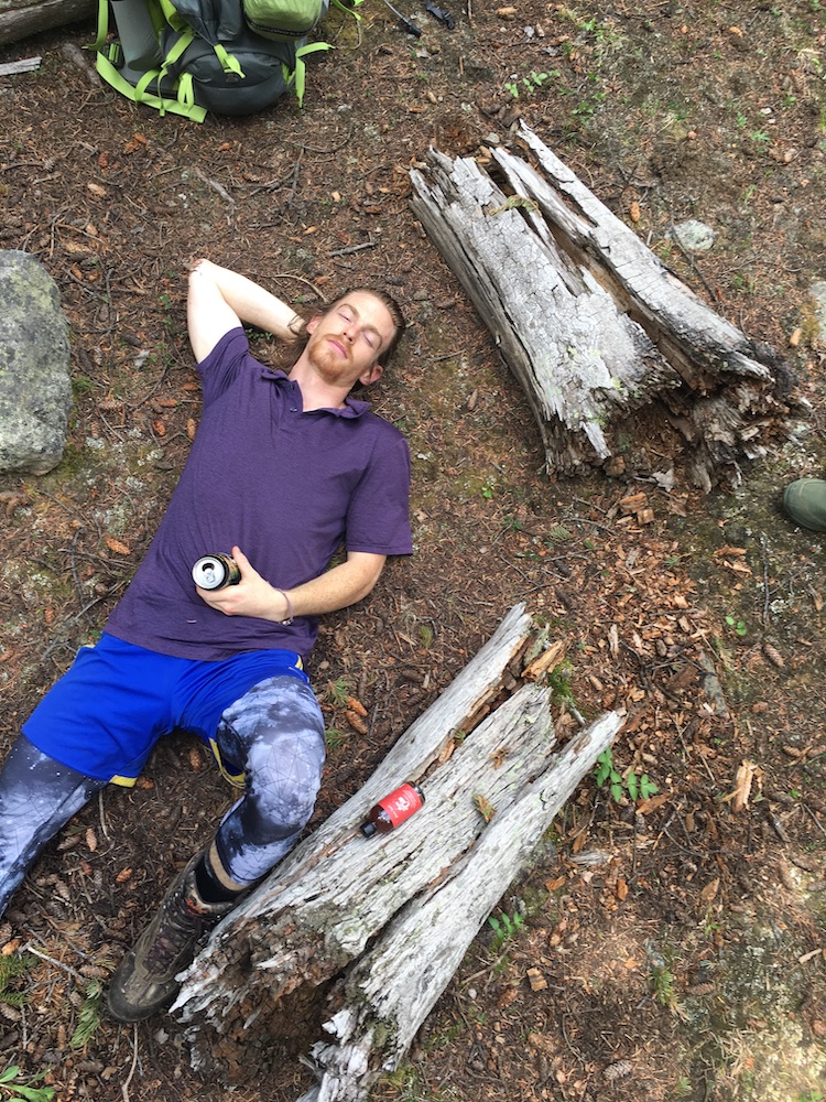
There was no way I was turning around! Pushing forward my steps became slower and my breathing heavier. Meanwhile my hiking partner Chase was blazing ahead of me. He does have the privilege of being much younger so I kept telling myself it was the age difference. I kept a steady pace. It can get a bit gusty at these elevations. Luckily I had packed my Arc’teryx lightweight windbreaker to cut the wind.
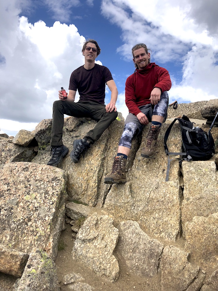
The last part of the climb is class one scramble. Which is essentially climbing up and over big rocks. No climbing gear required. This part was super fun for me, but also a bit harrowing. Some areas you are right on the edge of a several hundred food drop. Of course I like to look down. Maybe not the best idea.
When you get to the top of the scramble you think ahhh, I made it. But no, this is Mt. Massive. There is still about 1/4 of a mile to traverse along the top to the peak. It’s relatively easy since there is only a few feet gain in elevation in parts. I found it was a great time to take in the views and ponder what great a journey it had been. Down is the easy part. Just watch the knees.
